Narva Muuseumis on uus Narva kaardistamise ajaloole pühendatud näitus.
Sündmuse ülevaade
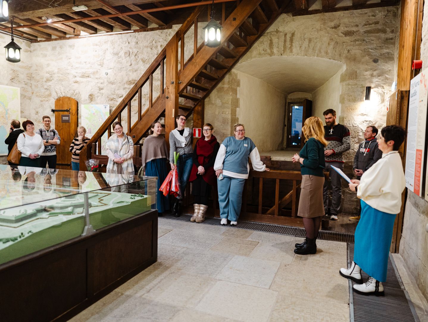
19. detsembril avati Narva Muuseumis uus Narva kaardistamise ajaloole pühendatud näitus. Eksponaatide hulgas on 17. sajandi ainulaadsete linnaplaanide koopiad, haruldased 1960.–1970. aastate topograafilised kaardid ning tänapäevane interaktiivne linnakaart.
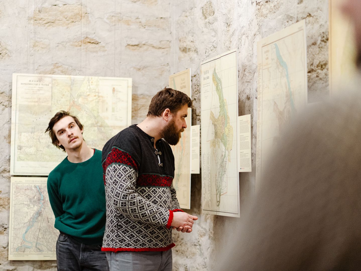
Näitus „Pilk Narva kaardile“ tutvustab külastajatele 17. sajandi keskpaigast 20. sajandi alguseni loodud linnaplaane ja -kaarte.

Linnaplaanid ja -kaardid on tähtsaimad Narva ajaloo allikad. Need peegeldavad linna territooriumi kasvu, elamu- ja tööstushoonete iseloomu ning fikseerivad geograafiliste kohanimede muutusi.
Näitusel on erilisel kohal 17. sajandist pärinevate vanimate linnaplaanide koopiad. Sealhulgas 1649. aasta plaan, mis on ühtlasi üks vanimaid säilinud Eesti linnaplaane. 1684. aasta plaan on ainulaadne seetõttu, et sellele on esmakordselt kantud Narva ajaloolise keskuse tänavate nimed. 2024. aastal möödus nende rariteetide valmimisest vastavalt 375 ja 340 aastat.
Näitusel on esindatud üle 20 ajaloolise linnaplaani Narva Muuseumi kollektsioonist, Eesti Rahvusraamatukogust, Rahvusarhiivist, Eesti Arhitektuurimuuseumist ja Narva Linnaarhiivist. Külastajad saavad esmakordselt näha 1960.–1970. aastate suuremastaabilisi Narva plaane, mis olid omal ajal ette nähtud vaid ametialaseks kasutamiseks.
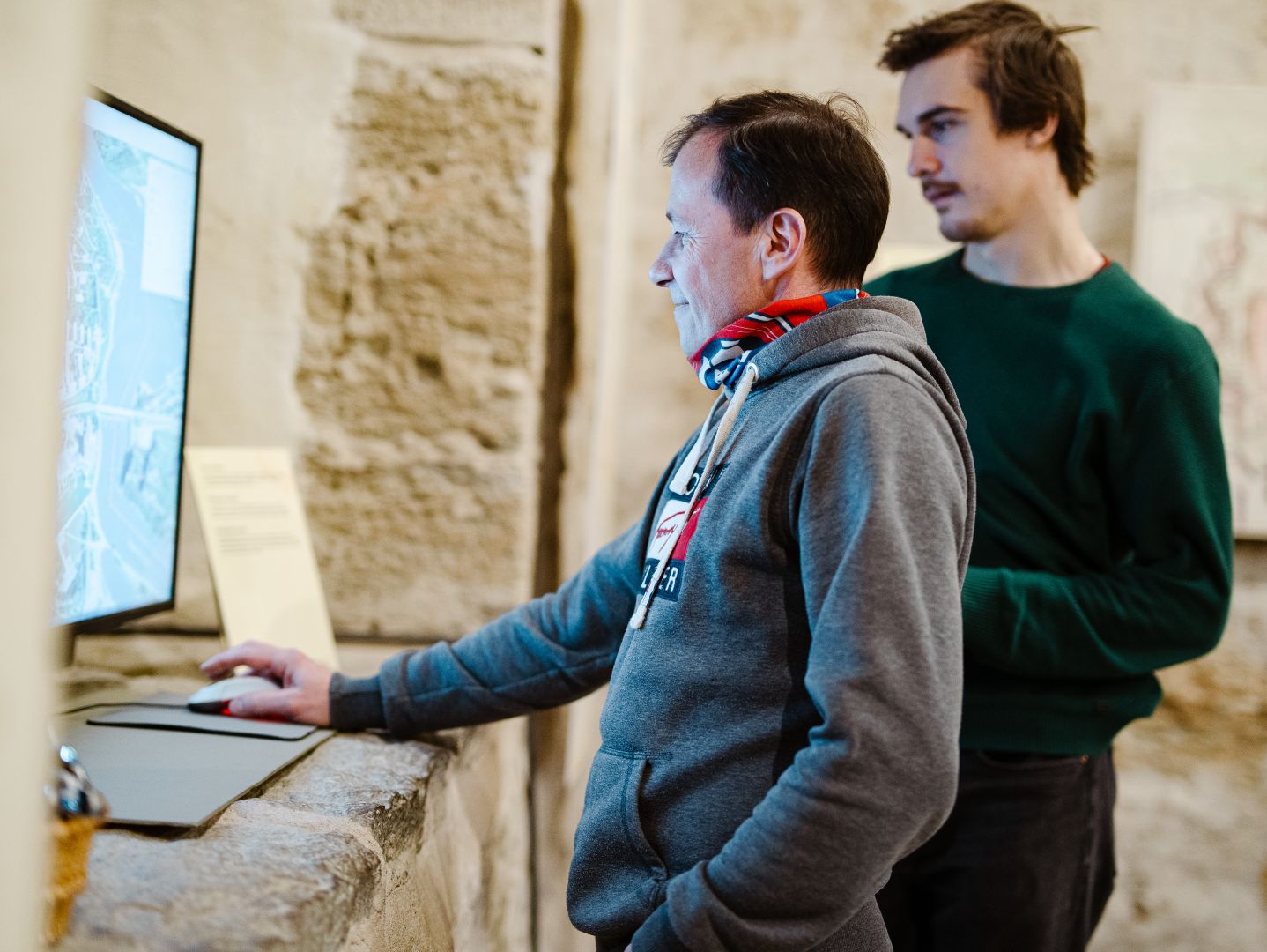
Eraldi huvipakkuv on ka tänapäevane interaktiivne linnakaart. Selline valik erinevatest aegadest pärit kartograafilist materjali annab võimaluse jälgida linnamaastiku kujunemist ning demonstreerib teaduse ja tehnika arenguga seotud evolutsiooni kaartide tootmises.